-
 INTERACT WITH USERS
Do more with your exciting data
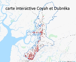
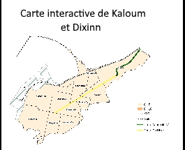
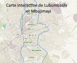
Interactive maps are engaging new ways to present complex data. Large amounts of data can be accessed in a few clicks to explore hypotheses, visualize corelations, identify issues, strategize and imagine new public policies and solutions. Deeper popup information is only one click away in text, photo or video format. Where administrative maps are missing, our teams collect digitally neighborhood or communal boundaries in no time. We use data from existing sources or collect original data to populate the maps of your choice. The maps can be published and hosted on our secured servers. Maps can have restricted access on demand.